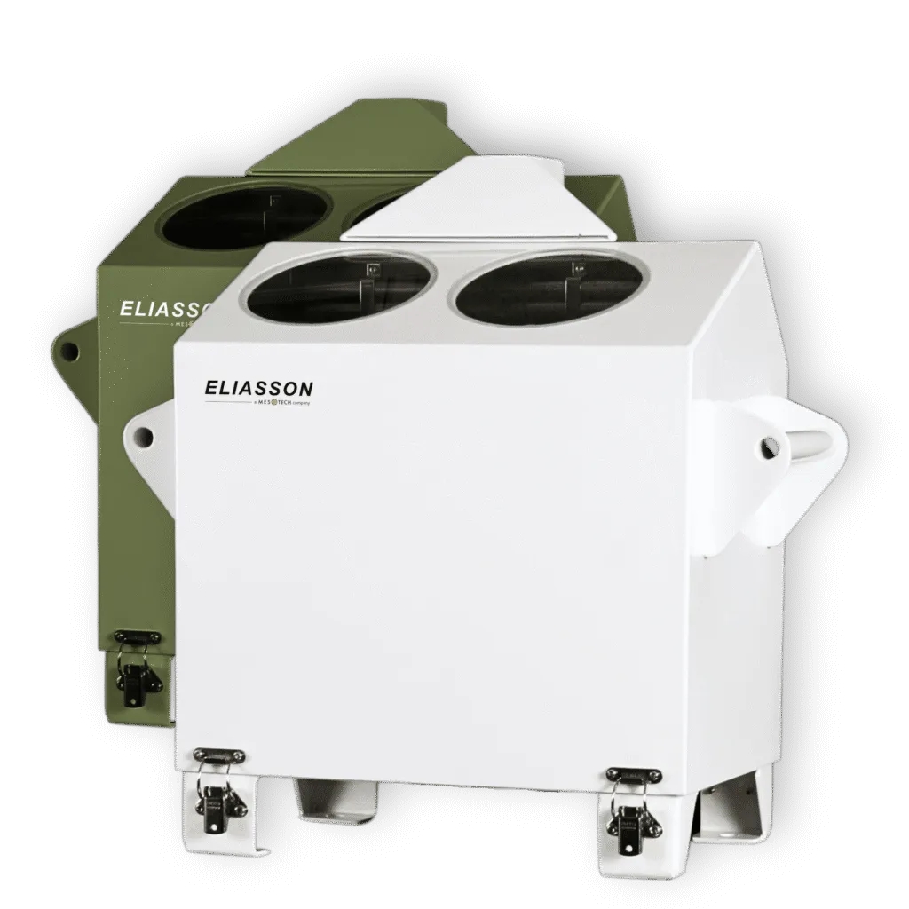
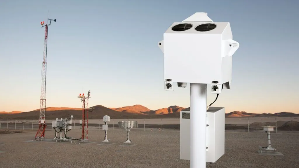
The CBME80/120 utilizes the LIDAR principle with a low-power diode laser, limited to eye-safe levels. Real-time digitizing techniques combined with powerful microprocessor and FPGA technology ensure precise signal processing and reliable cloud height measurements, meeting all ICAO Annex 3, 9837, FAA, CAA, and WMO requirements and recommendations.
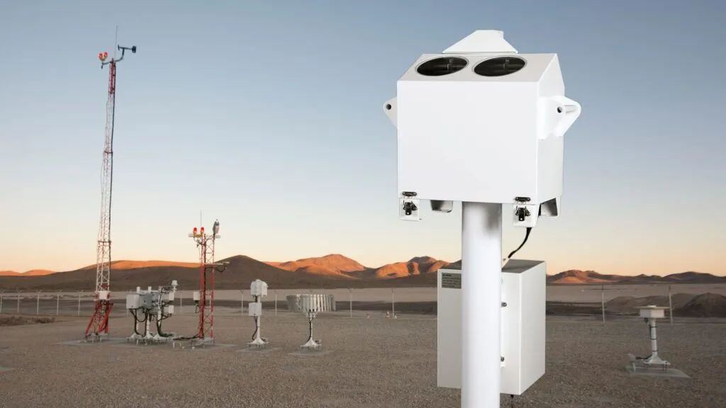
Multiple output options and built-in FSK modem support both local and remote operations, making it ideal for various installation scenarios from airports to meteorological networks.
Reliable Operation
Exceptional MTBF of 100,000 hours for mission-critical applications
Applications
AVIATION
Provide critical cloud height and vertical visibility measurements for both civil and military aviation operations, ensuring safe takeoffs and landings even in challenging weather conditions. Meets or exceeds FAA, ICAO and WMO requirements.
METEOROLOGY
Deliver precise atmospheric data for weather forecasting and monitoring, contributing to more accurate predictions and enhanced public safety.
OFFSHORE & MARINE
Maintain reliable operations in maritime environments with robust performance on ships, oil platforms, and other offshore installations.
HELIPAD OPERATIONS
Support safe helicopter operations with precise cloud base measurements that meet CAP437 standards for offshore helicopter landing areas.
AIR QUALITY MONITORING
Enhanced understanding of pollution episodes, particularly during adverse weather conditions when air quality deteriorates rapidly. The technology's ability to track atmospheric layering and stability provides essential context for interpreting ground-level pollution measurements.